
Every map begins as public elevation data and ends as a formed sheet on a wall. This is the collection grouped the way the island actually works — by mountain range and catchment rather than by county boundary.
The collection
Fifteen landscapes, region by region.
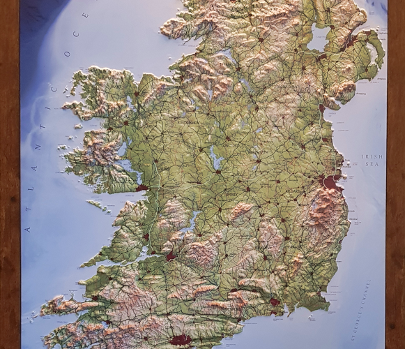
53.4° N, 8.0° W · SCALE 1:725,000
The whole island
Ireland, entire.
The full island at wall scale — the Reeks, the Twelve Bens, the Sperrins and the Wicklow massif all in one sheet, with the continental shelf falling away beyond the coast. Available in English, as Gaeilge, and as a bedrock geology edition.
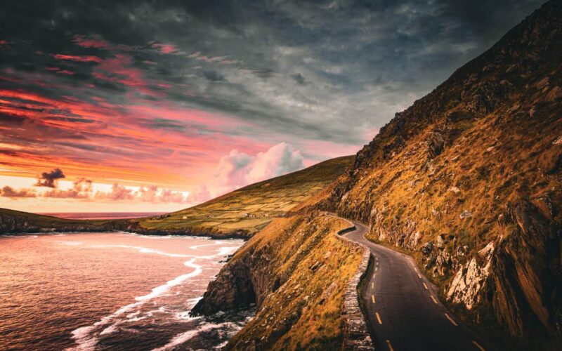
52.1° N, 10.4° W · CORCA DHUIBHNE
Kerry & the south west
Where the mountains meet the Atlantic.
Three peninsulas of old red sandstone, scoured by ice into the highest and most dramatic ground in the country. Carrauntoohil appears on all three of these maps — it is hard to escape in Kerry.
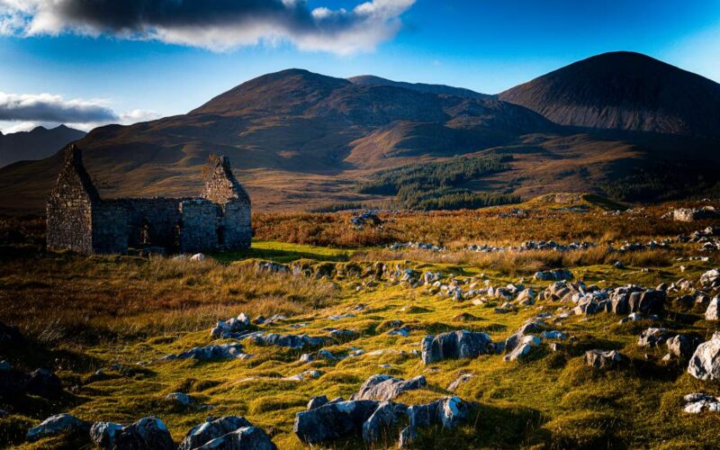
53.5° N, 9.7° W · CONAMARA
Connemara & the west
Quartzite, bog and great water.
Mweelrea, the Twelve Bens, the Maumturks, the Partry Mountains and the Sheefry Hills, with Lough Mask and Lough Corrib entire. Out west, the Aran Islands carry the Burren’s limestone under the sea — and the bathymetry is on the map.
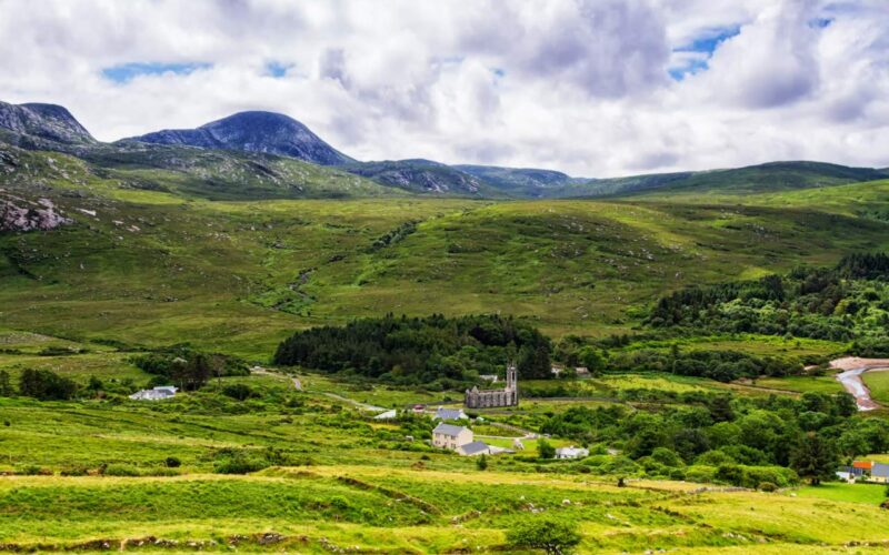
55.0° N, 8.1° W · DÚN LÚICHE
Ulster & the north
The Derryveagh cones.
Donegal’s quartzite peaks stand up out of the bog like teeth — Errigal, Slieve Snaght, the Poisoned Glen — and the coastline north of Slieve League is as complicated as anywhere in Europe. Our most detailed county map.
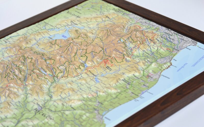
53.1° N, 6.4° W · SCALE 1:185,000
The east & midlands
Granite, catchments, quiet hills.
The largest massif in Ireland sits an hour from the capital, and the Dodder runs off it into the city. Further in, the Slieve Blooms are the country’s best-kept walking secret — worn down, wide open, almost empty.
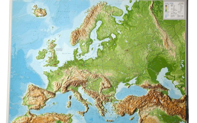
LARGE FORMAT · CONTINENTAL SCALE
Beyond Ireland
The continent and the planet.
The same process at a larger scale: the Alps, the Pyrenees, the Carpathians and the Scandinavian shield across Europe, or every range and ocean trench on Earth in a single sheet.
Not sure which size?
The large island maps are 500 × 620 mm and read from across a room. Regional maps at 400 × 285 mm are a desk or hallway piece. The two A4 maps suit a shelf.
Ask us