
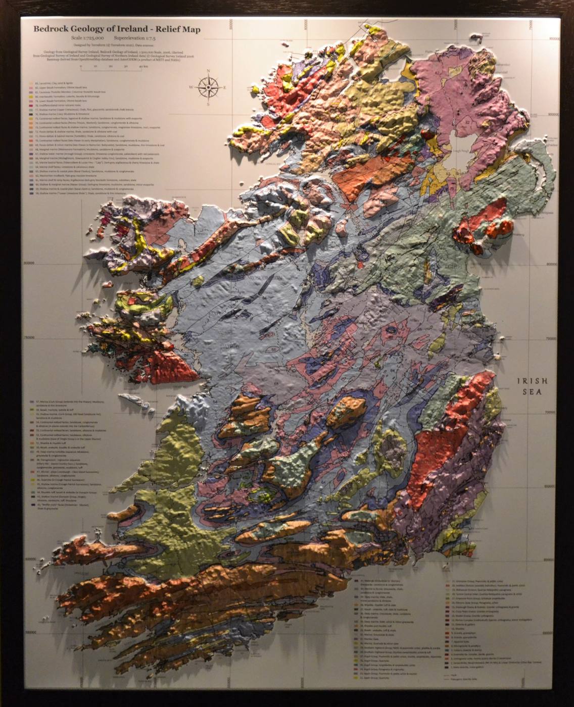
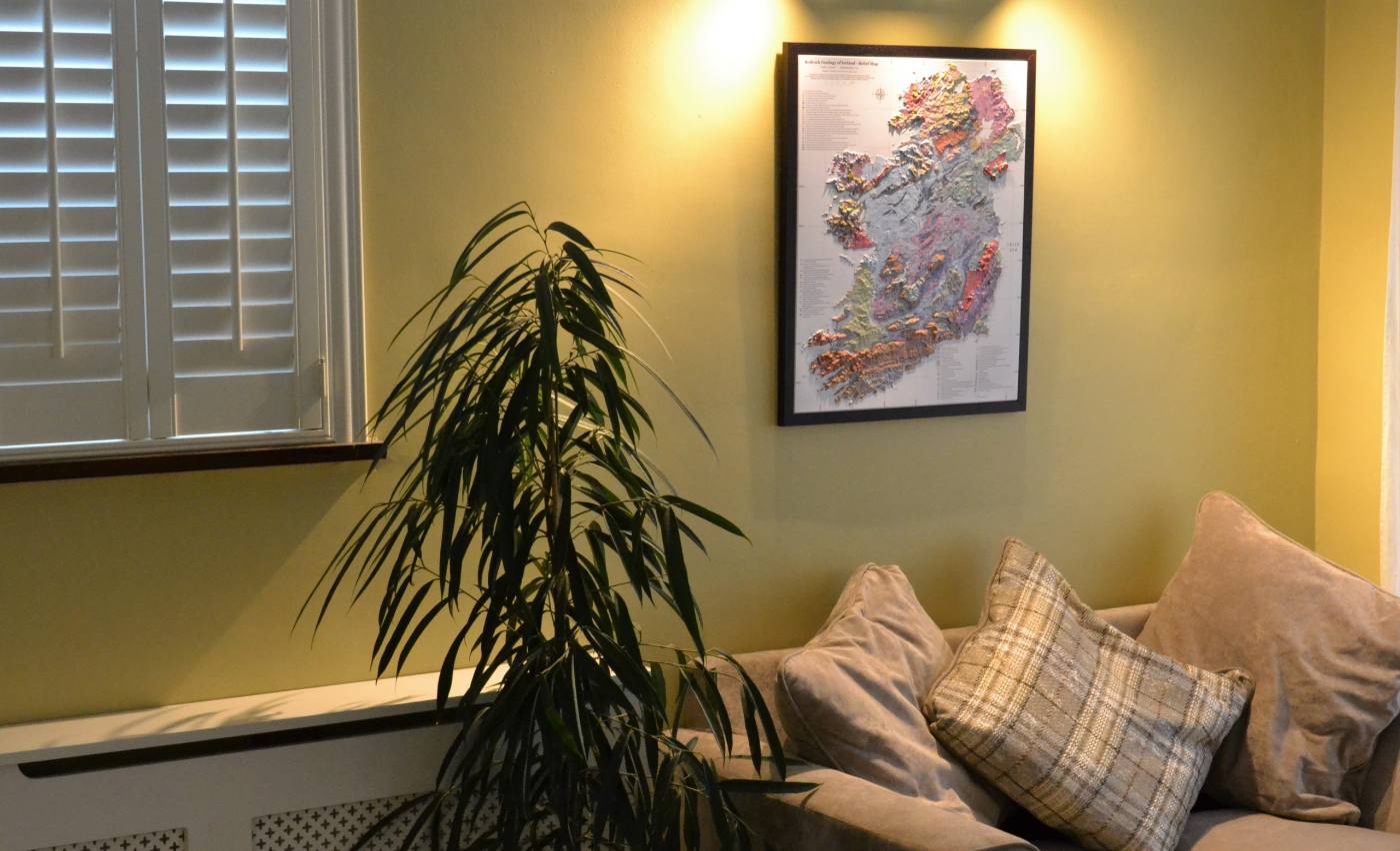
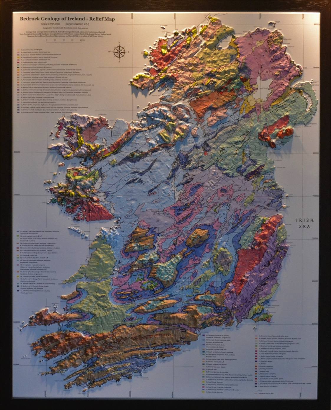
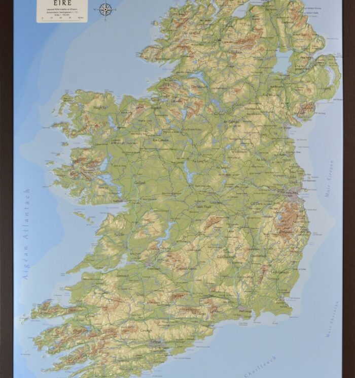
Geology of Ireland
From €79.95
- Made in Galway
- Dispatch in 3–5 days
- Ships worldwide
- 14-day returns
Specification
- Size
- 500 × 620 mm
- Scale
- 1:725,000
- Superelevation
- 1:3 vertical
- Frame
- Brown wood effect, ready to hang
- Data
- Open elevation model + bathymetry
- SKU
- TIRGEO
What’s on the map
The Geological Survey of Ireland’s 1:500,000 bedrock mapping printed in register with true elevation. The Caledonian grain of the north west, the Leinster granite batholith, the Carboniferous limestone of the central lowlands and the Burren, the Old Red Sandstone ridges of Munster, and the Antrim basalt plateau.
Shipping & returns
Care
Dust with a dry soft brush or cloth. Keep out of prolonged direct sunlight — the print will hold, but like any print it prefers shade. Do not use solvents on the formed surface.
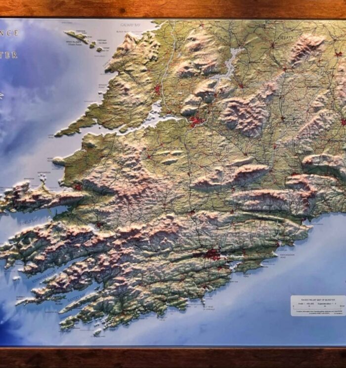
Reviews
There are no reviews yet.