
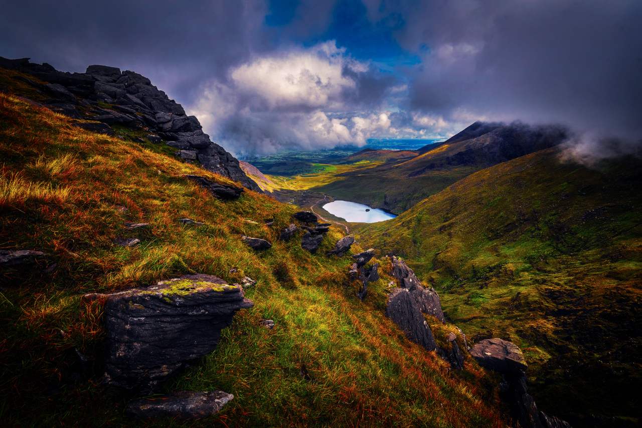
Handmade in Galway since 2014
The island, in relief.
Precision three-dimensional maps of Ireland’s coasts, mountains, glens and loughs — carved from open elevation data, finished by hand.
52.0000° N, 9.7422° W
Real terrain, in your hands
Every ridge and corrie, true to elevation.
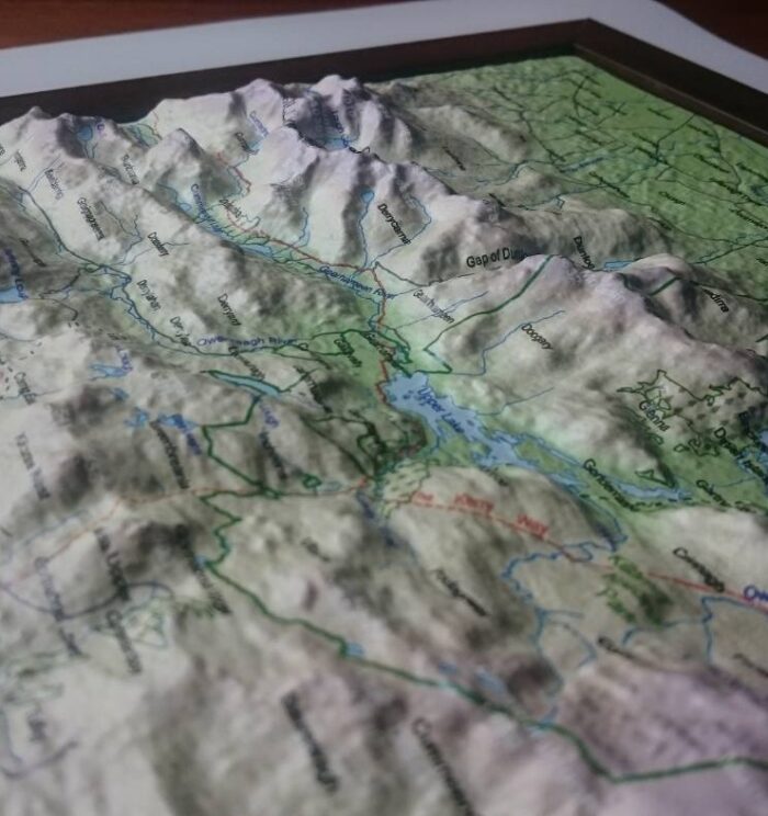
We take open elevation and bathymetric data for the island of Ireland and vacuum-form it into tactile relief — so a coastline you have walked becomes something you can run a thumb along.
landscapes in the collection
open-source elevation data
making relief maps since
vertical superelevation, hand-finished
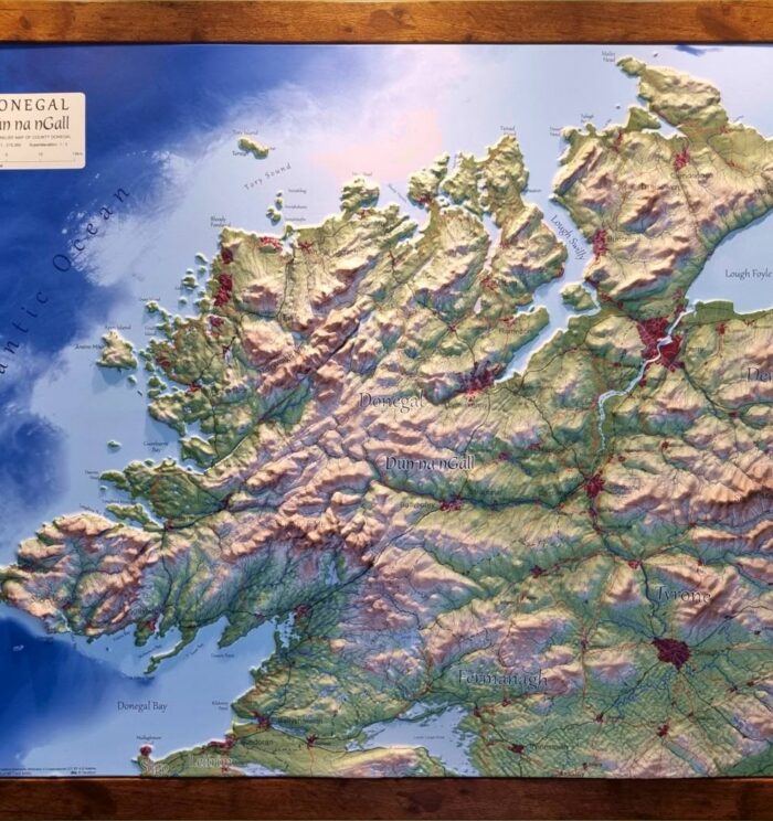
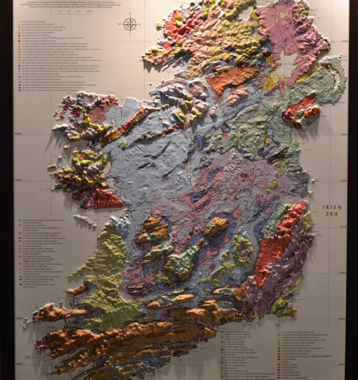
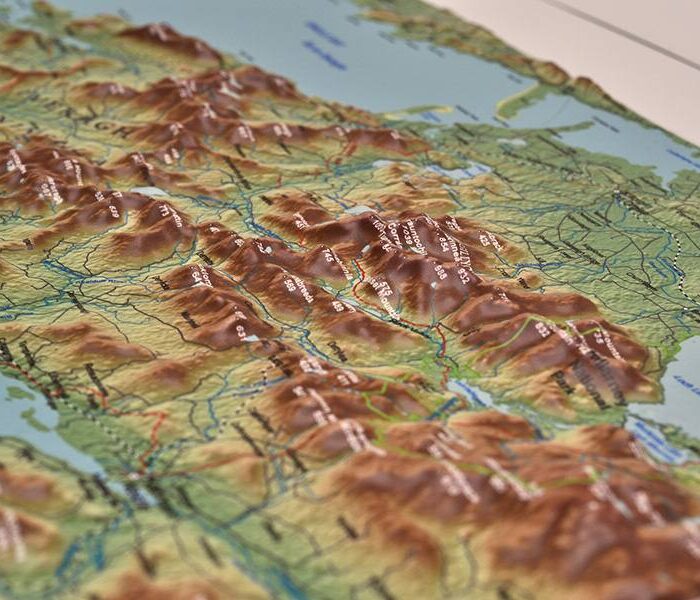
How they’re made
Data, then heat, then hands.
Open data
We start with public elevation models and bathymetry — the same survey data the state uses — and build a true three-dimensional surface of the region, superelevated so the terrain reads at wall scale.
3D print & form
The surface is 3D-printed as a tool, then a sheet is heated and vacuum-formed over it. Every contour, corrie and sea cliff transfers in a single pull.
Print, trim, frame
The cartography is printed to register with the relief, hand-trimmed, and either fitted to a solid frame or finished bare. Then it’s boxed in Galway and posted.
Bespoke mapping
Your catchment, your county, your climb.
If the landscape you want isn’t in the collection, we’ll build it. We’ve made relief maps for river trusts, national parks, visitor centres, mountaineering clubs and people who simply wanted the valley they grew up in.
Send us an area — a boundary, a set of coordinates, or just a place name — and we’ll come back with a scale, a size and a price.
Bought the Iveragh map for my father after we walked the Reeks together. He has traced that ridge with his finger about a hundred times since.
Aoife M. · CorkWe use the Geology of Ireland map in the classroom constantly. Students understand the Burren in about ten seconds once they can feel it.
Secondary school · Co. ClareArrived beautifully packed, frame is solid, and the detail on the Twelve Bens is genuinely surprising up close.
David R. · BelfastIrish geomorphology
The shape of this island was decided by ice, and we have only been living on the result.From Ireland’s geology, in relief
Gift vouchers
For the hiker, mountaineer, geographer or outdoors obsessive in your life. €25, €50, €75 or €100, sent by email.
Buy a voucherNew maps, occasionally
We release two or three new landscapes a year. No marketing, no weekly emails — just a note when there’s something new on the wall.