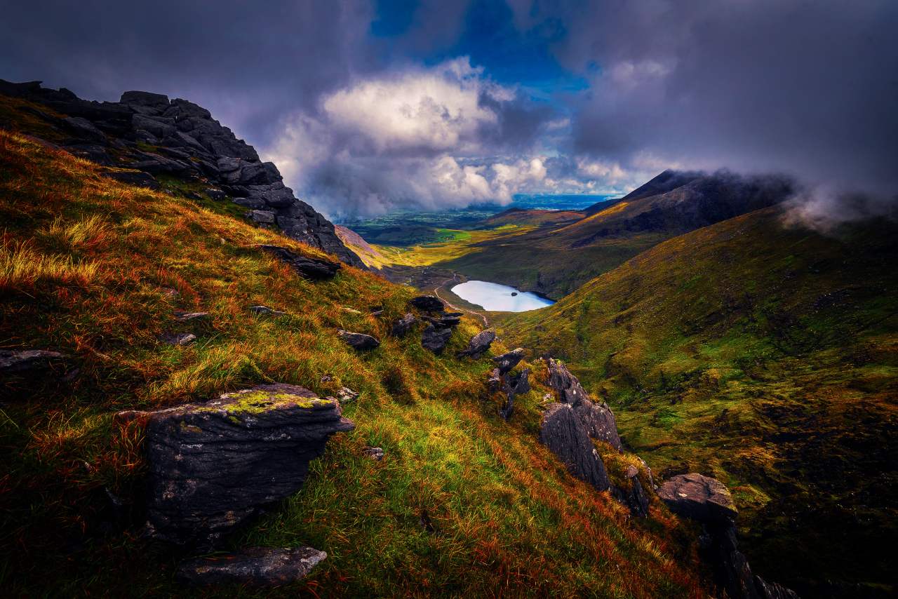
Eighteen hundred million years, two continental collisions, a tropical sea, an ocean opening and a great deal of ice. Here is how the island got its shape — and how to read it off a map you can touch.
The oldest ground
Ireland is not one landscape. It is at least four, welded together over roughly 1.8 billion years, and the relief you can feel on a formed map is the last thin chapter of that story — the bit ice and weather wrote in the final fraction of a per cent of the time available.
The oldest rock in the country is on Inishtrahull, a small island off the north coast of Donegal. It is a gneiss — a rock that has been heated, squeezed and recrystallised until its original character is gone — and it dates to around 1,778 million years. There is nothing you can see from a road that is anything like as old. For context: at that point there was no Atlantic, no Ireland, no land plants, and the atmosphere had only recently become something you could have survived.
What matters for the map is that this ancient basement, and the metamorphic rocks of the north west built on it, are hard. Hard rock resists erosion. Nine-tenths of what makes Donegal look the way it does comes down to that one fact.
Two halves of a country
For a long stretch of the Palaeozoic, the ground that became Ireland was in two pieces, on opposite shores of an ocean called Iapetus. The north west sat on the margin of Laurentia — the ancestor of North America and Greenland. The south east sat on Avalonia, a fragment that had drifted up from the southern hemisphere.
They closed. Around 400 million years ago the ocean between them was consumed and the two margins collided in the Caledonian orogeny, the same mountain-building event that produced the Scottish Highlands and the Appalachians. The join — the Iapetus suture — runs roughly north east to south west across the country, from the Louth coast towards the Shannon estuary. It is invisible on the ground and unmistakable in the rocks either side of it.
Almost every long ridge in Ireland runs north east to south west. That is a 400-million-year-old collision still telling you which way it came from.
The Caledonian grain is the single most useful thing to know when you look at a relief map of Ireland. Donegal’s ranges run north east to south west. The Ox Mountains do. The Leinster massif does. So do most of the country’s long valleys and quite a few of its rivers. Where a range refuses to obey that grain, something else happened — and it is usually the south.
The collision also melted things. Great volumes of granite were emplaced deep in the crust and have since been exhumed: the Donegal granites, and the Leinster batholith, a single enormous granite body that forms the spine of the Wicklow Mountains and continues south through Carlow into Wexford.
 DonegalQuartzite and granite, north east to south west
A warm shallow sea
After the mountains came the sea. Through the Carboniferous, roughly 359 to 299 million years ago, Ireland sat near the equator under warm shallow water, and for tens of millions of years it did what warm shallow water does: it accumulated carbonate. The remains of corals, crinoids, brachiopods and lime mud built up in beds hundreds of metres thick.
That limestone is now the floor of the country. It underlies most of the central lowlands, which is why the middle of Ireland is flat, green, well-drained in places and boggy in others, and why the rivers behave the way they do. Limestone is soluble. Water gets into joints, widens them, and eventually drains underground.
The Burren
Nowhere shows this better than the Burren in County Clare, where glaciers stripped the soil off the limestone and left a bare pavement cut into blocks by solution-widened joints. There are caves, swallow holes, turloughs that fill and empty with the water table, and almost no surface streams. It is a textbook karst landscape, and on a relief map it appears as something faintly unnerving: an upland with no drainage pattern on it.
The same limestone continues west under the Atlantic. The Aran Islands are the Burren’s terraces carried out to sea, and the bathymetry around them shows the shelf stepping down rather than stopping.
 Aran IslandsThe limestone shelf, continued under the sea
The south, folded differently
Around 300 million years ago a second collision — the Variscan orogeny, as Pangaea assembled — squeezed the southern third of the island from the south. It did not build tall mountains here in the way the Caledonian event had, but it folded the existing rock hard, and crucially it folded it along a different axis: roughly east to west.
The result is the ridge-and-valley country of Munster, and it is unlike anywhere else in Ireland. Devonian Old Red Sandstone was pushed up into long east–west anticlines; the softer Carboniferous limestone in the troughs between them was worn away. The sandstone ridges became the peninsulas and ranges — the MacGillycuddy’s Reeks, the Galtees, the Comeraghs, the Knockmealdowns — and the limestone valleys became the Blackwater, the Lee and the Bandon, and the bays between the Kerry and Cork peninsulas.
In Kerry, the mountains and the sea run in parallel lines because the rock was folded that way. The Atlantic simply flooded the troughs.
Old Red Sandstone is also why Ireland’s highest ground is where it is. Carrauntoohil, at 1,038 m, is sandstone — resistant, thickly bedded, and given a considerable head start by 300 million years of folding.
 Iveragh PeninsulaOld Red Sandstone, folded east to west
The Atlantic opens
Ireland spent the Mesozoic largely under water and largely quiet — most of the chalk and much of the Jurassic and Cretaceous record has since been removed, which is why the country has comparatively little to show from the age of the dinosaurs. The next event that shaped the map came from the west.
In the Paleogene, around 61 to 58 million years ago, the North Atlantic began to open and the crust under the north east of Ireland was stretched and flooded with basalt lava. The Antrim Plateau is the result: successive flows building up to a great tabular upland, with the interbasaltic weathered horizons that give the red bands in the cliffs. Where one thick flow cooled slowly and contracted, it cracked into columns — the Giant’s Causeway.
The opening also gave Ireland its continental margin. West of the shelf the seabed falls away thousands of metres into the Rockall Trough and the Porcupine Seabight, and the country’s designated marine territory is roughly ten times its land area. Most maps of Ireland stop at the coast. That is a decision, not a fact, and it is the reason we put bathymetry on ours.
Then ice did the sculpting
Everything above is the raw material. The shape you actually feel on a relief map — the corries, the U-shaped valleys, the ribbon lakes, the drumlin fields — was cut in the last two and a half million years, and mostly in the last hundred thousand.
At the height of the last glaciation, ice covered effectively the whole island, thick enough to overtop all but the highest summits. It retreated for the last time around 12,000 years ago, geologically speaking the day before yesterday. What it left behind:
- Corries — armchair hollows bitten into north- and east-facing slopes where snow lingered and ice rotated. The Reeks and the Wicklow Mountains are full of them, and most now hold a lake.
- Glacial troughs — valleys deepened and straightened into a U section. The Poisoned Glen in Donegal, Glendalough, the Gap of Dunloe.
- Ribbon lakes — long, narrow, deep water in overdeepened troughs. The Killarney lakes, Lough Corrib, Lough Mask.
- Drumlins — swarms of streamlined mounds of till moulded under moving ice, across the northern midlands and drowned in Clew Bay.
- Eskers — gravel ridges deposited by rivers running under the ice, dry and well drained; the Eiscir Riada carried the main east–west route across the midland bogs for a thousand years.
There is an ology for all of this — geomorphology — and it is the part of the story a two-dimensional map cannot tell you. A contour line records a corrie. A formed surface lets you put a thumb in it.
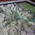 Lakes of KillarneyRibbon lakes in a glacial trough
Reading the relief
Once the sequence is in your head, a relief map of Ireland starts to explain itself. A few things to look for:
- NE–SW ridges
- Caledonian grain — Donegal, the Ox Mountains, Leinster.
- E–W ridges
- Variscan folding — Kerry, Cork, Waterford.
- Flat green centre
- Carboniferous limestone, glacial till on top.
- Upland with no streams
- Karst. The water is underground.
- Tabular high plateau, north east
- Antrim basalt.
- Round-shouldered domes
- Granite — Wicklow, parts of Donegal.
- Sharp cones
- Quartzite — Errigal, Croagh Patrick, the Twelve Bens.
The pairing that gives most people the moment of recognition is bedrock against elevation: put the geology beside the terrain and the landscape stops looking arbitrary. Which is precisely why we made a map that prints one on the other.
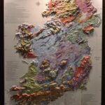 Geology of IrelandGSI bedrock geology, printed in register with elevation
Sources & further reading
The elevation and bathymetric data behind our maps is open, published by public bodies, and free for anyone to download and interrogate. The bedrock mapping on the Geology of Ireland map is the Geological Survey of Ireland’s 1:500,000 sheet.
- Geological Survey of Ireland — bedrock, Quaternary and geoheritage mapping, and the national map viewer.
- INFOMAR — the national marine mapping programme; the source of the shelf and seabed detail.
- Irish Geological Association — field trips and talks, for anyone who wants to go and stand on it.
If we have got something wrong on this page — and geology summaries written for a shop are always a simplification — tell us. We would rather fix it.