The geology of the area covered by this map is quite complex. Most of the rocks in the Connemara area are composed of meta-sedimentary rocks. These rocks were originally deposited in a marine environment during a phase of continental tension and crustal thinning beginning around 850 million years ago. As the continent, known as ‘Rodinia’, began to break apart a sedimentary basin formed which eventually extended to become an ocean known as Iapetus (father of Atlas in Greek mythology). Material eroded from the newly formed continents of Laurentia and Gondwana was washed into this ocean and deposited on the ocean floor where it lithified into mudstone, silt stone and sandstone.
After many millions of years the expansion of the Iapetus ocean stopped and it began to close again. The beginning of this closure saw the development o f a deep oceanic trough, represented in Ireland by the South Mayo Trough, causing deposition of oceanic sedimentation and magmatism, resulting in the laying down of igneous rock such as pillow lavas and tuffs as well as sedimentary rocks such as greywackes and mudstones.
As Iapetus continued to close the oceanic crust was consumed by subduction beneath the two nearing continents. When the continents finally collided the subduction ceased and great mountain ranges began to form. This caused the remaining sedimentary rocks to uplift and deform into the meta sediments we see today.
Quaternary Landscape
The main factor influencing the shape of the landscape we see to day in Connemara and South Mayo, indeed across all of Ireland, is ice. Up to a kilometer of ice is thought to have covered much of Ireland during the most recent ice age. The movement of this ice, either as glaciers or en masse, over the underlying rocks, caused the erosional and depositional features we see so spectacularly displayed in Connemara and Mayo. Glaciers forming in the upland regions carved out corries and U-shaped valleys, and deposited morraines and drumlins.
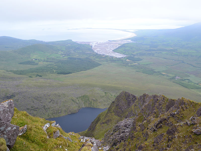
The most recent glacial period ended around 10,000 years ago and rising sea levels caused by the melting ice saw the inundation of Killary Harbour, which was originally a U-shaped valley, forming one of only two fjords in Ireland – the other being Carlingford Lough. The low-lying areas became water logged due to the impermeable nature of the glacial ground morraine left behind, which lead to the development of the myriad of lakes we see in Connemara.
Approximately 5,000 years ago there was a further change in climate with increased rainfall levels which lead to the formation of the expansive blanket bogs across the area. Bogs form from the accumulation of plant remains in water-logged environments. When the plants – mainly different types of moss and heather – die the remaining organic material breaks down only very slowly due to the lack of oxygen. Over time the organic matter builds up and the bog grows with several metres of peat accumulating in many areas.