“Geography – The study of the physical features of the earth and its atmosphere, and of human activity as it affects and is affected by these” – Oxford English Dictionary
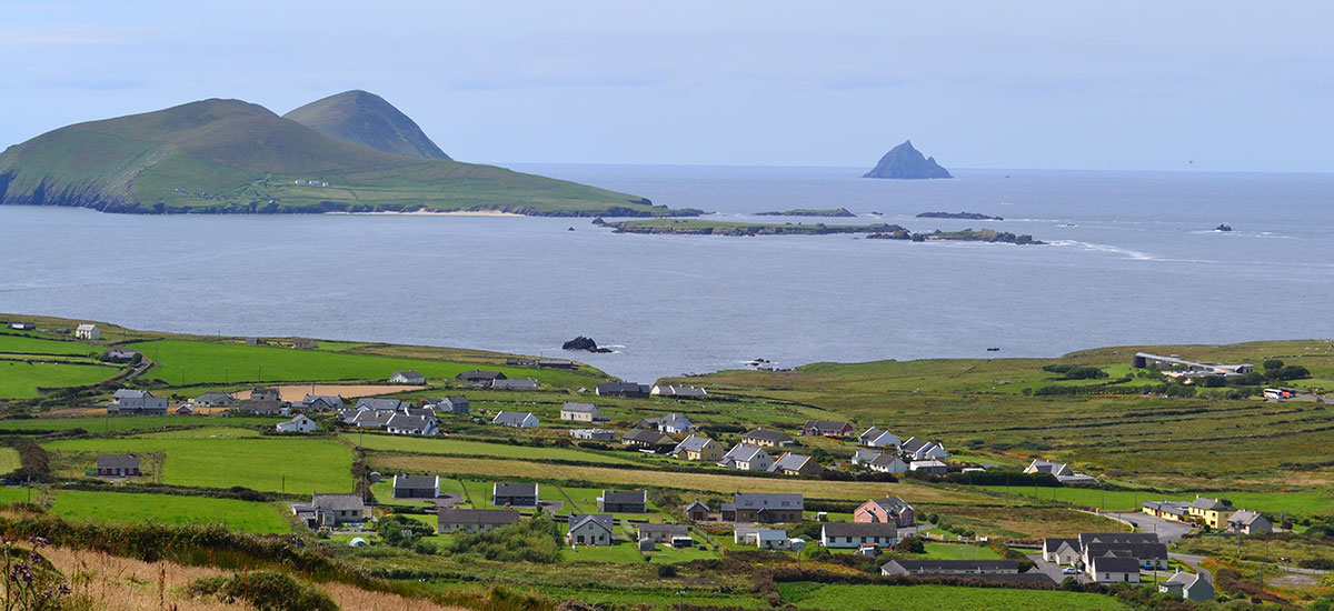
Here at Terraform we love maps – we love studying them, understanding them, finding our way with them, making them. We also love landscapes – especially Ireland’s rugged wild landscape which has shaped the way we are. From our treeless mountains to our expansive bogs and our fertile plains – the geography of this small Island in the Atlantic has very much affected its people.
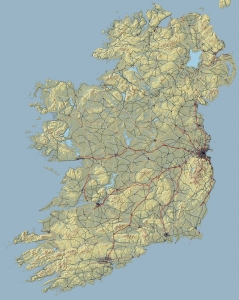
The best way for us to understand our physical geography is through the medium of relief maps. We are currently developing a map of the Island of Ireland, which we aim to launch in Autumn 2016. The map will be significantly larger (62 x 50 cm) than our current range. It will include both human and physical geographical features and will be ideal both as a teaching resource and as a decorative wall hanging for home or office. We will post images of the map as it develops – so any feedback or suggestions will be very much appreciated.
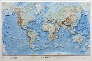
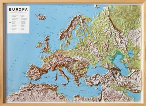
We are currently in negotiation with other relief map producers in Europe to bring relief maps of Europe and the World to the Irish market this Autumn.
We also hope to have maps of each of the four provinces available by spring 2017. Prices for the new maps will range from €69 (unframed) to €119 (framed). 