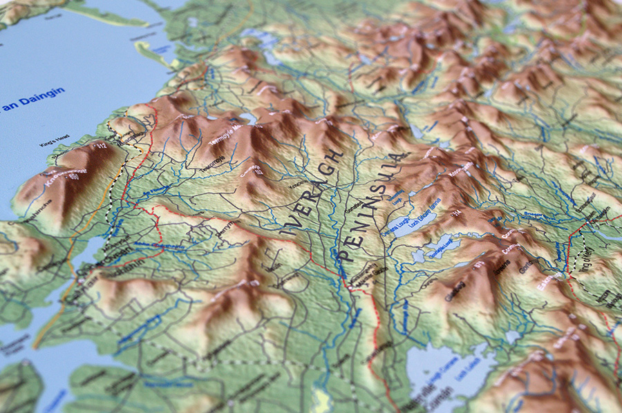
3D relief maps provide a unique educational resource for anyone involved in the teaching of geography and outdoors pursuits. They provide a birds eye view of what a landscape really looks – something you just don’t get from traditional 2D maps. They allow you to see the landscape from any perspective freeing the mind to imagine how glaciers and rivers carved the valleys we see today. Because 3D maps use raised and depressed surfaces they are also interesting to the touch which makes them particularly useful for teaching the blind and visually impaired about geography and the landscape. In fact they have been used for this purpose since the latter part of the 18th Century when 3D “tactile” maps were developed using various materials such as glass and wire.
Here in Ireland we have some of the finest examples of glaciated landscape in Europe. Terraform are currently developing a range of 3D relief maps for some of Ireland’s most beautiful and interesting landscapes which would make a useful and interesting addition to any primary school or geography classroom.