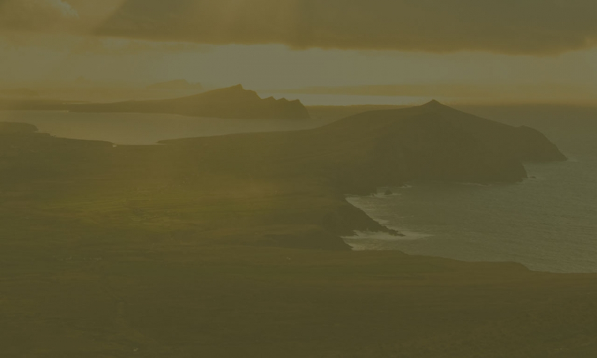
The amazing Ring of Kerry route is world famous for it’s rugged mountains, majestic valleys and wild coastline. Boasting Ireland’s highest mountain, Carrauntoohill in Macgillycuddy’s Reeks, the Lakes of Killarney, and the Black Valley, this section of the Wild Atlantic Way will thrill and inspire in equal measure. Why not stop off at the beautiful Muckross House on the Kenmare Road before heading over Moll’s Gap mountain pass and following the breath-taking road down to Kenmare? A trip up to the Gap of Dunloe, just a few kilometres to the West of Killarney town, can’t be missed. Take a boat out to the Skellig Michael Unesco World Heritage site or visit the 370 million year old fossilised tetrapod tracks on Valentia Island – there is something for everyone to see.
During the last glacial period this part of Kerry was covered by an ice dome centred on an area to the west of Kenmare. For thousands of years, ice movement eminated out from this central point. However, the ice moving north encountered the high mountains of the Iveragh Peninsula causing it to bank up and eventually breach at the lowest points – i.e. Moll’s Gap. Macgillycuddy’s Reeks were too too high for the ice to pass over but it managed to breach through at the Gap of Dunloe leaving behind the spectacular U-shaped profile we see today.
Ice accumulated around Carrauntoohil itself carving out corries (cúm in Irish) high up in the mountains, creating U-shaped valleys and depositing morraines and glacial outwash in low-lying areas. This can be seen clearly on the map with lake-filled corries on each side of the mountain summit. To the north the material eroded by the glacier deposited as sands and gravels on the plain, while to the south and west the ice would have followed a more complex route via the Black Valley, before eventually escaping from the mountains and out into the plains to the north.